Gregory P. Madden
Cartographic Design
About This Project
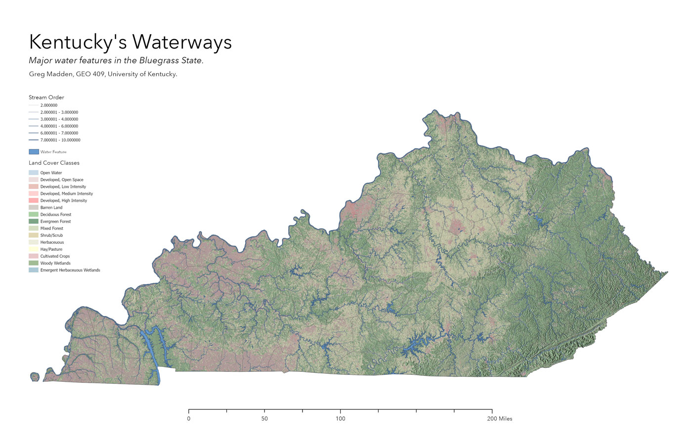
Kentucky's topography is fairly diverse, with an array of land uses. This map used a hillshade and land cover data to make a simple map of Kentucky, showcasing it numerous waterways.